Custom geospatial solutions built to streamline delivery and compliance.
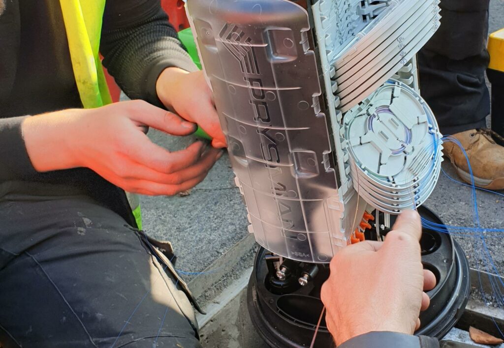
Our GIS team builds bespoke tools and automated workflows for fibre projects. Whether it’s managing field data in QField or producing build-ready maps, we deliver GIS-backed clarity for design, permitting, and reporting.
We Offer:
Custom QGIS templates and workflows
QField integration for live field data capture
Interactive GIS dashboards for planning teams
Automated reports: SHP, KML, as-builts, and fibre maps
📁 Final Deliverables
Every project is backed by clear, compliant, and audit-ready documentation.
Category Deliverables
Design & GIS Updated route maps, PIA asset checks, SHP/KML files, SLDs
Compliance Packs A55s, BOMs, Cable & Civils Packs, Splicing Sheets, As-Builts
Risk & Safety Risk assessments, surface reports, utility hazard mapping
PIA Evidence RAG status reports, PIA Portal updates, photographic proof, usage logs
Photo Records Geo-tagged images of all infrastructure (poles, chambers, cabinets, obstacles, entry points)